Our Impact by the Numbers


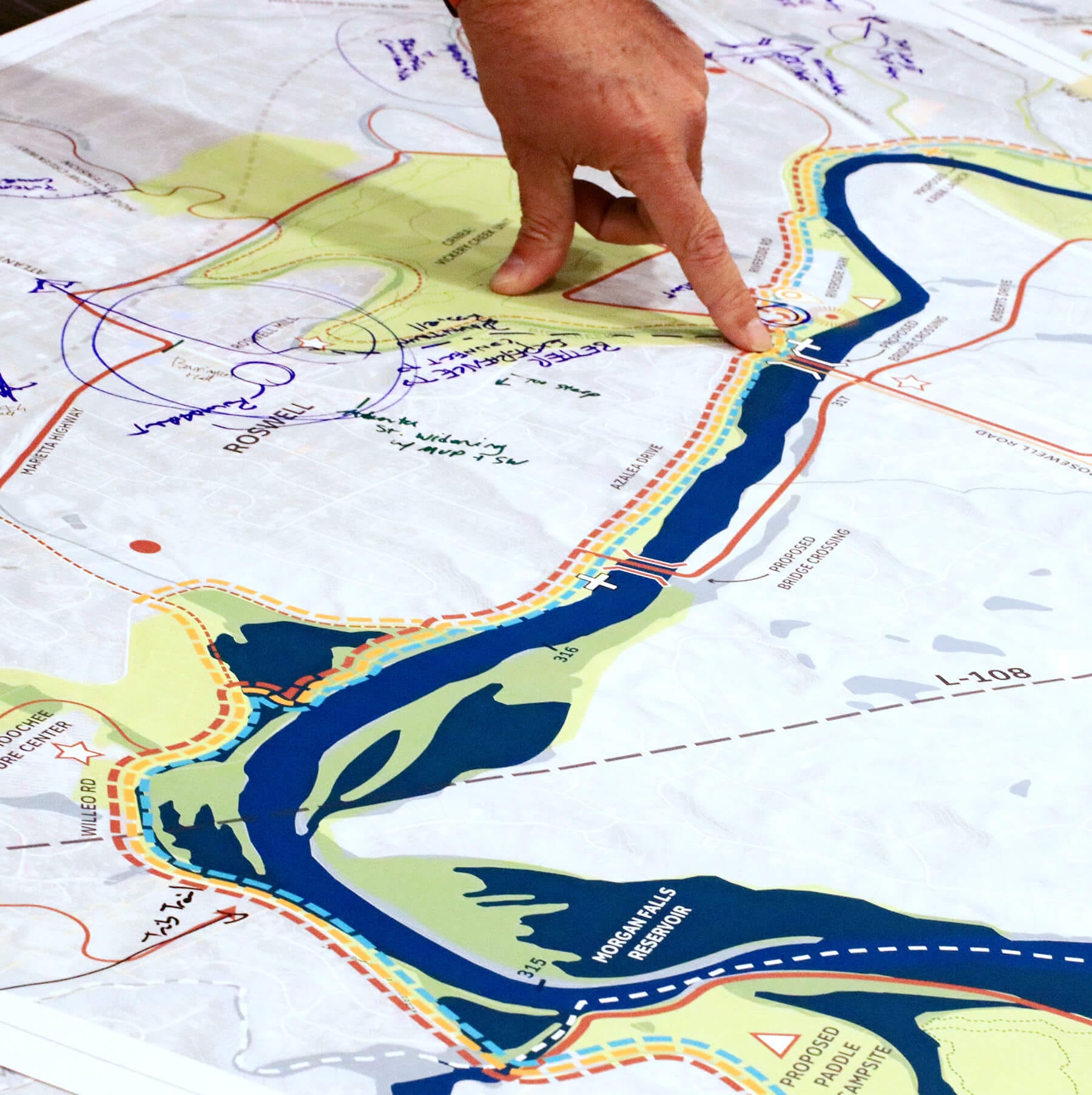
Make the case for parks and open space, shape conservation policy, and learn more about park access, equity, and quality. You can make a difference in your community with our proprietary tools, expert consultants, and extensive research.

If you’re a community leader or advocate, we have the right people to help you. Get a glimpse into our team of skilled professionals who are helping make our country better for future generations.


Our Federal Affairs and Conservation Finance team provides resources and guidance about federal land conservation policy and funding to an array of groups, including Congress, the White House, federal agency staff, local and state land trust activists and government officials, and other conservation groups across the country to expand our national parks, preserve important cultural sites, fund conservation efforts at the state and local level, and so much more.


Our data experts developed the national gold-standard comparison of park systems across the 100 most populated cities in the United States. Published annually, the index measures park systems according to access, investment, amenities, acreage, and equity.
-
ParkServe® Data
We created the country’s most extensive database of local parks in nearly 14,000 cities, towns, and communities to measure equitable access to green space and identify priority areas that need more parks and trails.


