A Cleveland neighborhood’s long-awaited link to the lakefront
A Cleveland neighborhood’s long-awaited link to the lakefront
From the door of her apartment, Artyene Wilson can see the sparkling expanse of Lake Erie stretching away to the horizon. “You can’t beat the view,” she says. “On a sunny day our water is so beautiful and blue.”
For Wilson and the other tenants at Lakeview Estates—an aptly named public housing development in Cleveland’s Ohio City neighborhood—the lake is certainly something to see. Unfortunately, that’s all it is: though this part of Cleveland has miles of waterfront along the Cuyahoga River and Lake Erie, it’s laced through with freeways, rail lines, steel mills, and salt mines. To actually get to the green, breezy parks on the shore of the lake, residents have to go miles out of the way.
That’s not practical for Wilson. She’d love to spend more time at the lakefront, but like many of her neighbors in the senior housing tower, she’s in a wheelchair and doesn’t have access to a car. “A lot of us who use wheelchairs, we’re still very active,” she says. “We go out together, we go to the store, we visit with our friends. But we just can’t make it all the way out to the lake.”
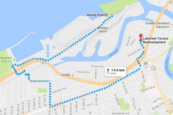 Today, Lakeview Estates residents face quite the trek to get their nature fix. Plans for a pedestrian bridge over a railyard will turn that trek into a short stroll. Photo credit: Google Maps
The Trust for Public Land’s Matt Schmidt says Wilson’s predicament is in part the legacy of an old approach to urban planning—one that prioritized fast routes to the suburbs over quality of life in the city center. “We see it in Cleveland the same as Chicago, St. Louis, Washington D.C., Boston … in the Postwar era, vibrant neighborhoods were broken up to build highways and industrial developments,” Schmidt explains. “Fast-forward to today, and many people are physically isolated and not well served by transportation infrastructure. That makes it hard to get to work, school, a good grocery store—or a park.”
Cortney Crockett is with the Cuyahoga Metropolitan Housing Authority, the agency that manages Lakeview Estates. Though in recent years she’s seen the neighborhood’s historic charm attract redevelopment projects like loft apartments, breweries, and shops, connecting with the rest of the city remains a missing piece. “Ohio City’s growth is bringing amenities closer to our residents, and we’re seeing some benefits from that,” she says. “But safe and affordable transportation—whether by bus, bike, or foot—is still an obstacle for us.”
The Trust for Public Land is working to change that, by stitching together segments of urban trail into a greenway network reaching all the way to Cleveland’s waterfront parks. This year, we secured funding for a critical connection: a pedestrian bridge over the industrial yard that today separates residents like Wilson from the lake. The trail will pass right by her apartment complex and run straight to Wendy Park—a sunny, green oasis complete with swimming beach, volleyball courts, and a marina.
For Wilson’s neighbor Amina Aweis and her four daughters, the bridge will open up a world of possibilities. “Right now there’s a park about a mile away that we can walk to, or we’ll take a walk around the neighborhood, or just play in the street,” she says. “But the beach is nicer—it’s green, there’s fresh air off the lake, a lot more room for the kids to run around.” When the planned trails are complete, the Aweis family could be at Wendy Park—with access to miles of lakefront and riverside trails—in minutes.
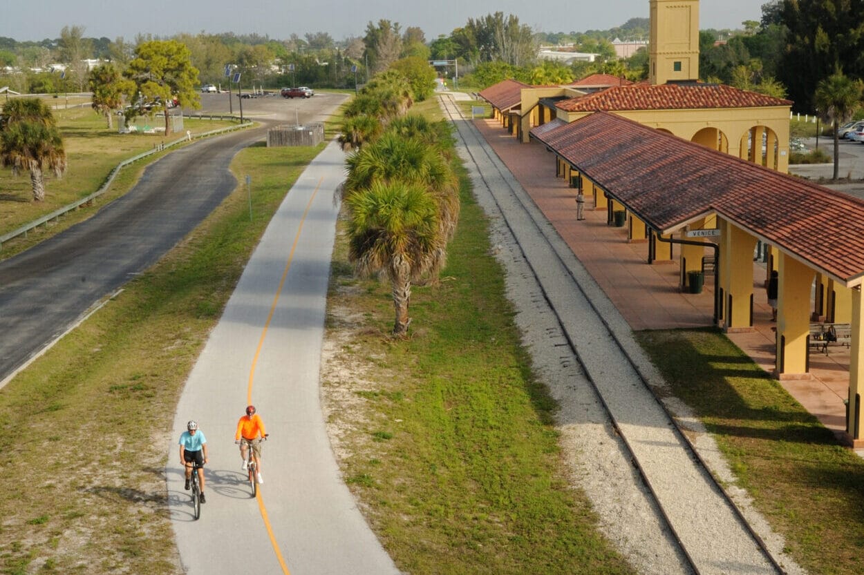
Closing the gaps in the greenway network could also improve access to Ohio’s only national park. South of Lakeview Estates, The Trust for Public Land is working with Cleveland Metroparks and LAND studio to extend the Cleveland Foundation Centennial Trail from the Towpath Trail to the lakefront. Today, the Towpath Trail winds 80 miles through the fields and forests of Cuyahoga Valley National Park—only to end in a maze of busy city streets. The Cleveland Foundation Centennial Trail connection would mean a car-free route all the way from the lakefront to the national park.
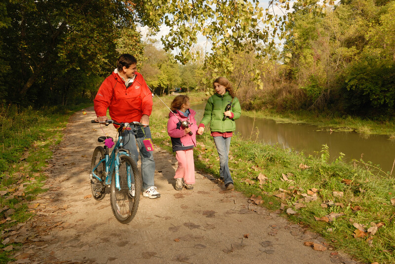 The Towpath Trail connects the Cleveland metro area to Cuyahoga Valley National Park.Photo credit: Darcy Kiefel
Linking every Cleveland neighborhood to the city’s best assets will take time—but Schmidt is hopeful that the connections can be built faster in the coming decades than the barriers were in the past. “We’re working to correct some of the consequences from outdated notions of urban planning in Cleveland,” he says. “A great trail network will create safer, healthier, more sustainable ways for people to get where they’re going. It’s one piece of this whole puzzle of making everyday life better for people who live in the city.”
It’s the kind of change that Wilson, a lifelong Cleveland resident, is ready for. “When that bridge is done, I bet I’ll go down to the lake every day,” she says. “Open water is cleansing. You can sit by the still water and calm yourself.”
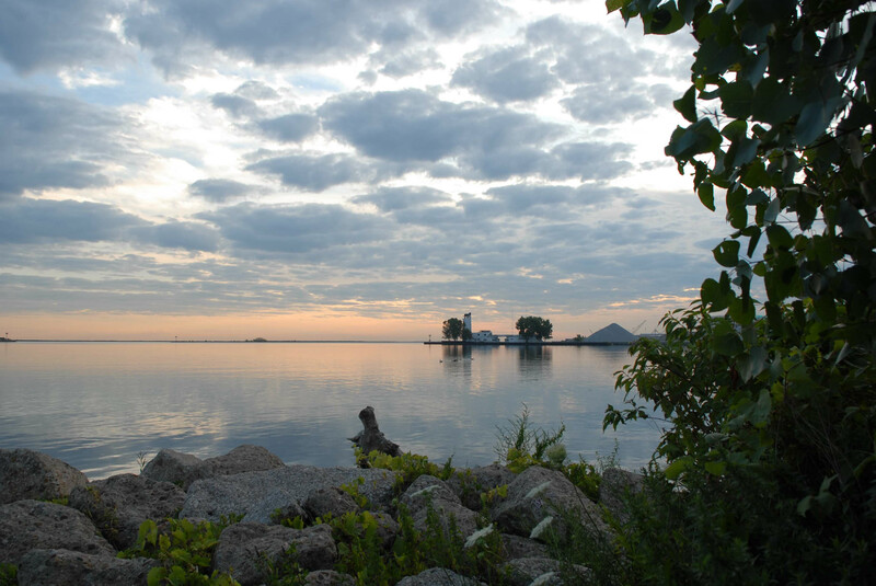 Sunrise at Wendy Park is a fine start to any day.Photo credit: Darcy Kiefel
The Active Transportation Infrastructure Investment Program (ATTIIP) is a vital initiative that helps expand trails connecting people to nature and their broader neighborhoods. Urge Congress to fully fund the ATTIIP!
Donate to become a member, and you’ll receive a subscription to Land&People magazine, our biannual publication featuring exclusive, inspiring stories about our work connecting everyone to the outdoors.
See how our supporters are helping us connect people to the outdoors across the country.


