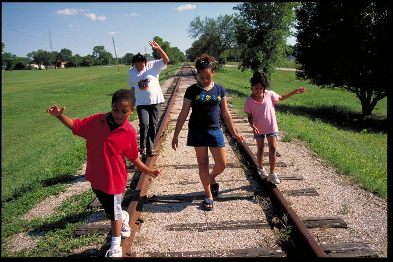
Clive, Iowa developed as a rail stop servicing the coal mines west of Des Moines. The town’s relationship to the railroad is the reason for Clive’s unlikely, linear dimensions, with a width to length ration of 9-to-1. Although a small town of about 17,000 people, Clive’s population is growing quickly, having risen by 15% in the past decade. The city’s fast pace of growth, and the fact that it is surrounded by developed cities on all sides make strategic park planning crucial. “The city will probably be totally developed in about 10 years”, says Leisure Services Director Richard Brown.
Brown started using TPL analysis tools while working at the City of Des Moines, and was an early advocate for Des Moines’ participation in ParkScore. In Clive, he has put ParkServe to use, using the tool to incorporate equity data into decisions about park improvements, work with developers to designate sites for new parks, and take advantage of ParkServe analytic tools and mapping capabilities when applying for grants.
Clive is using an equity framework to plan park improvements, prioritizing park investments in lower income, majority minority areas. Using ParkServe, the city identified Linnan Park as a top priority, a once vibrant space that had fallen into disrepair. For Brown and his team, this equity framework is not just about investing in neighborhoods with the greatest need, it is also an opportunity to build strong relationships between the city and these communities. Although Clive is a predominantly white town, Linnan is located in one of the only majority minority communities outside of the City of Des Moines. “They speak 30 languages in the elementary school,” says Brown. “We used ParkServe to figure out who is out there and how we communicate with them.”
Linnan sits next to a city fire station, and the city is working to renovate the park while also converting the fire station into an experimental community center and branch library. “Right now, we are getting ready to open up that facility for experimental programming. We are going to open about 20 hours a week. I tell my people be prepared to fail and that is OK. We are going to find a way to serve that neighborhood and build relationships there.” The city plans on running programming for 18 months, and will take advantage of this uptick in park interest and activation to carry out community engagement for the park’s redesign during that period. Construction is expected to begin in the fall of 2023.
In addition to guiding city investment, Clive has also used ParkServe to attract outside funding. The city has used ParkServe in three successful recent grant applications, raising about $350,000 for park and trail projects.
The team in Clive is also using ParkServe to plan for new parks. Here, ParkServe’s park access mapping capabilities are proving useful. In Clive, the opportunities to build new parks are primarily located in and around newly planned residential developments. For city staff, building new parks means working with developers.
While Clive already has a requirement for developers to build new parks when completing residential projects, ParkServe plays an integral role in the process, helping to find optimum locations that can provide access to new residents, while also closing existing access gaps. “It helps us to site the best spot for the park to close the existing park access gaps as well as the new,” says Brown. “The maps are great to print and give to people. I bring them to the park board, city council, neighborhood meetings. You can print out that 2-page report and attach it to your report and people will get it right away.” Developers will begin construction on one of these parks, Cirksena, later in 2022, handing over ownership to the city after completion.
Brown has found ParkServe’s versality, ease of use, and accessibility enormously valuable in supporting Clive parks. “I recommend it to anyone possible, from community members to advocates and elected officials. I have used it multiple times to sell new parks and prioritize investments in current parks. This is an incredible tool that I do not believe enough people use. The park, where it’s at, income, demographics, it is a great way to tell that story very quickly. It does not matter if it is an elected official, neighborhood resident, people will understand the impacts very clearly.”

