Since our founding, Trust for Public Land has focused on bringing parks to the neighborhoods that need them most. But today we’re dreaming even bigger. We’re leading a national movement to put a park within a 10-minute walk of everyone in America. It’s a big goal, and pursuing it raises some big questions: how many people have access to a park within a 10-minute walk of home, and how many don’t? How many new parks do we need to close that gap?
To answer big questions, you need big data. That’s why we’re proud to launch a first-of-its-kind data-driven platform for mapping parks in cities and towns across America. We’re calling this tool ParkServe®. It’s the most comprehensive GIS database for park access ever created—and it’s available to anyone, anytime, anywhere, for free online.

We’re working to put a great park within a 10-minute walk of everyone in America … and now, we’ve created the tools to bring our vision to life. Photo: Jenna Stamm
Breece Robertson, our GIS expert, explains how big data tools like ParkServe will pave the way for more parks for the people that need them most.
First thing’s first: What is GIS?
GIS stands for Geographic Information Systems. It’s basically Google Maps on steroids: it’s a sophisticated software that allows users to plug in any kind of data you can think of—population density, demographics, natural resources, climate, land use, traffic patterns. We can then plot that data on the same map in a way that reveals patterns, uncovers problems, and tells a coherent story about a place.
How can GIS help put a park within a 10-minute walk of everyone in America?
With the ParkServe platform, we’ve used GIS technology to compile a huge amount of geographic and demographic data that can offer insights about park need in almost every city in the country. So how do you measure need? It’s a complex issue, but GIS analysis helps us zero in on the places with the highest population density, lowest household income, greatest number of children and seniors, and biggest public health challenges.
Trust for Public Land is the nation’s leading organization building city parks, and our success is guided by decades of experience, deep relationships with neighborhood leaders, a laser focus on equity, and a belief that parks are essential to healthy, livable communities. But until now, we’re never known the scope of the problem we’re trying to solve—that is, in the nation as a whole, how many people live within a 10-minute walk of a park, how many don’t, and where do they live? How can we solve a problem if we can’t even measure or describe it? The tools just didn’t exist—so we built them.

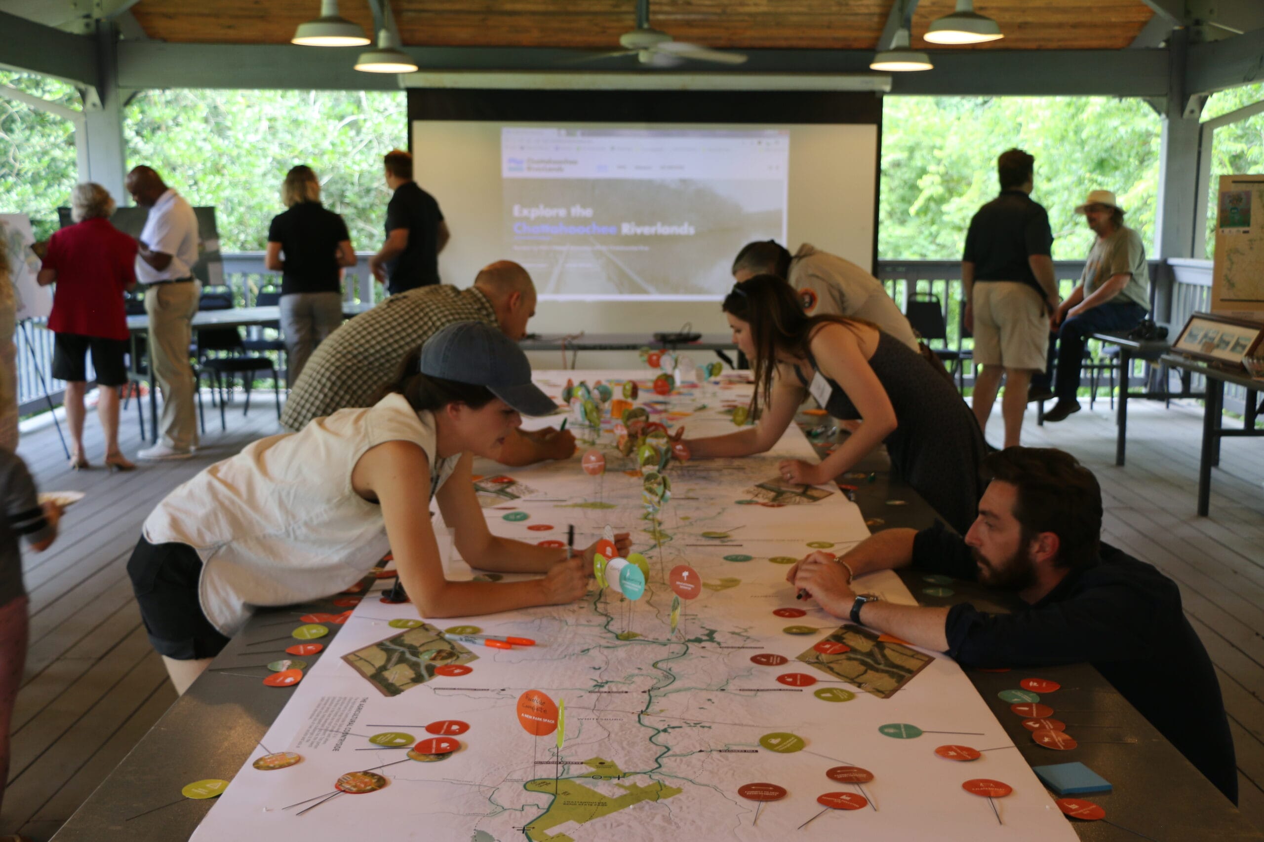
Powerful ParkServe mapping data will enable anybody—from neighborhood activists to the head of the parks department—to see and communicate the need for more parks in their cities. Photo: Jenna Stamm
How did you do that?
Our team has spent the past three years gathering and ground-truthing spatial data on parks and population from 14,000 cities and towns across the country, encompassing 80 percent of America’s population. Then we built the digital analytical tools to make sense of that data, and designed an all-new online platform to make the data and analysis flexible and freely accessible to anyone who wants to use it.
Seems like a lot of work to answer a few questions!
That’s what’s so innovative: now that we’ve collected the data, put it all online for free, and created analytical tools that anyone can use—there are no limits to the questions you can ask. Doctors can use it to find parks near their patients’ homes, so they can encourage people to get more exercise outside. There’s a function that allows you to draw a shape anywhere on the map, then hit “Go,” and it’ll tell you—if you were to build a park in that location—how many people live within a 10-minute walk. The tool will enable anyone from city officials and urban planners to students and grassroots neighborhood activists to envision and advocate for a park in their neighborhood.

Breece Robertson, our director of GIS and planning, says launching ParkServe is just the beginning. With big park data and powerful analytics, “there are no limits to the questions you can ask.” Photo: Eric Laycock/Esri
Sound cool? Visit parkserve.tpl.org to try it for yourself.
This raw, beautiful landscape in Southern California is home to Indigenous heritage sites, and it provides critical habitat for threatened and endangered species. Urge the administration to safeguard this extraordinary landscape today!

Donate to become a member, and you’ll receive a subscription to Land&People magazine, our biannual publication featuring exclusive, inspiring stories about our work connecting everyone to the outdoors.

