We are experts in spatial analysis – you dream it up, we can do it. Our expertise spans across health, equity, climate, wildlife, infrastructure, and of course, parks and land protection. We can combine datasets into robust analyses at any scale – from the whole country down to individual parcels. Check out an example of our robust analyses, the Colorado Recreation Access Map.
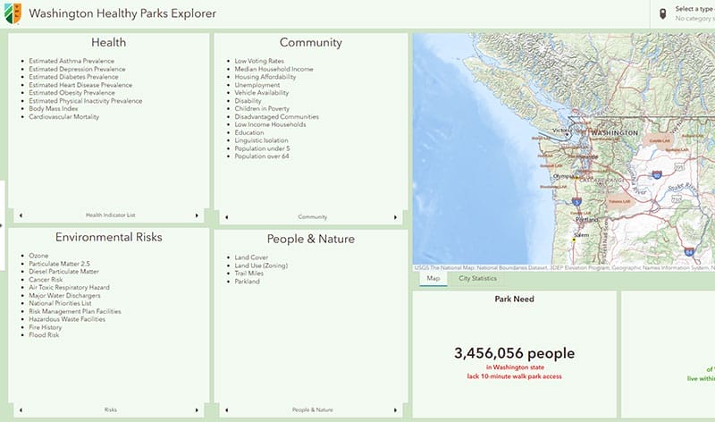
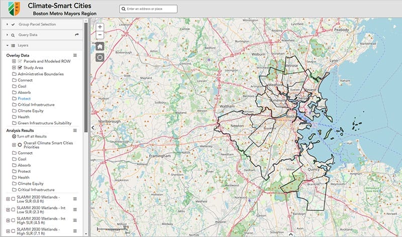
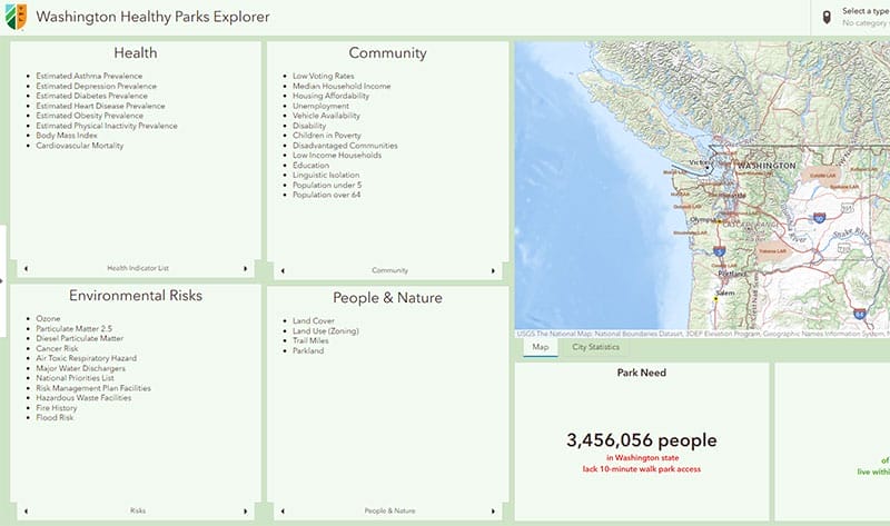
In need of a simple interactive data viewer, quickly? We can put together existing datasets in a user-friendly web data viewer with beautiful cartography. Need to prioritize where to work or make the case to funders? We can pull together datasets in a prioritization framework that captures your interests and display it in this interface to share widely! Our Nature Near Schools tool is a good example here.

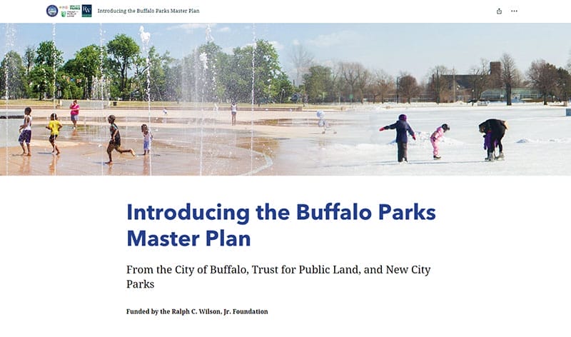
The Geospatial team utilizes Esri’s ArcGIS Online platform to tell dynamic, stories of TPL’s work. We collaborate with partners to craft the narrative and content (maps, images, videos, and more) that goes into story map and dashboard applications. We use story maps as a non-technical and engaging way to tell the story of a project and to get the local community involved in the effort. Macon, Georgia’s powerful story of a community coming together to save historic places is elegantly displayed in our story map here.
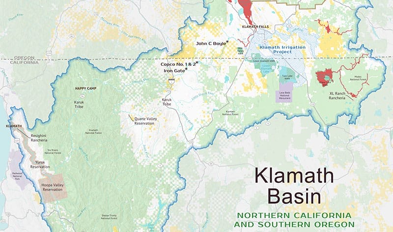
We have extensive experience using GIS to create formal static maps for many purposes and many scales (from a small land protection project in Los Angeles, to a trail planning project in Florida, to a regional planning analysis in Maine, as well as national/U.S. maps). We work with our staff and/or external partners to create maps that tell the various stories of efforts to protect land and create parks where they are needed most.
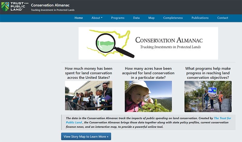
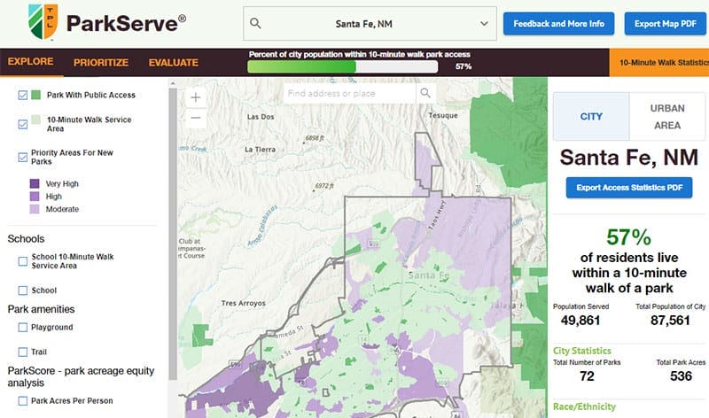
We created and are maintaining 4 national authoritative databases: ParkServe urban parks database, National Conservation Easement Database, Conservation Almanac, and the national Urban Heat Island raster.
How Can We Help?
Do you have a question about The Land and People Lab? We’re glad you’re interested in helping us connect everyone to the outdoors. Tell us how we can support you or your organization.
Give us a few details and we’ll get back to you soon.


