In the arid West, water comes first
In the arid West, water comes first
Water woes have always been a fact of life in the American West: it’s a region defined less by a compass point than by the fact that its residents can’t take the rains for granted. This year, El Niño-driven storms have helped refill depleted reservoirs and revive listless pastures. But longtime residents know a wet winter doesn’t alter the region's fundamental challenge with water—and that changes in climate and population may make it tougher yet.
Take Taos, New Mexico. Before this land was part of the United States, Hispanio farmers here managed water through traditional acequias: communally maintained irrigation ditches. Farmers elected a mayordomo tasked with ensuring that each family got its share. It was a system developed in response to the scarcity and irregularity of water, and for centuries it helped communities through wet and dry years alike.
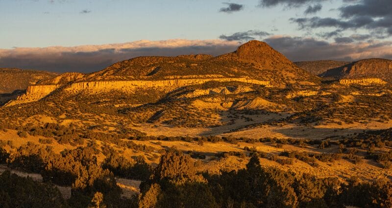
Modern law on water rights is very different, of course, but the acequia system still shapes the landscape around Taos. The conservation of Miranda Canyon—a sweeping valley just south of town—is the story of a community that hasn’t forgotten how to come together in defense of its most precious resource.
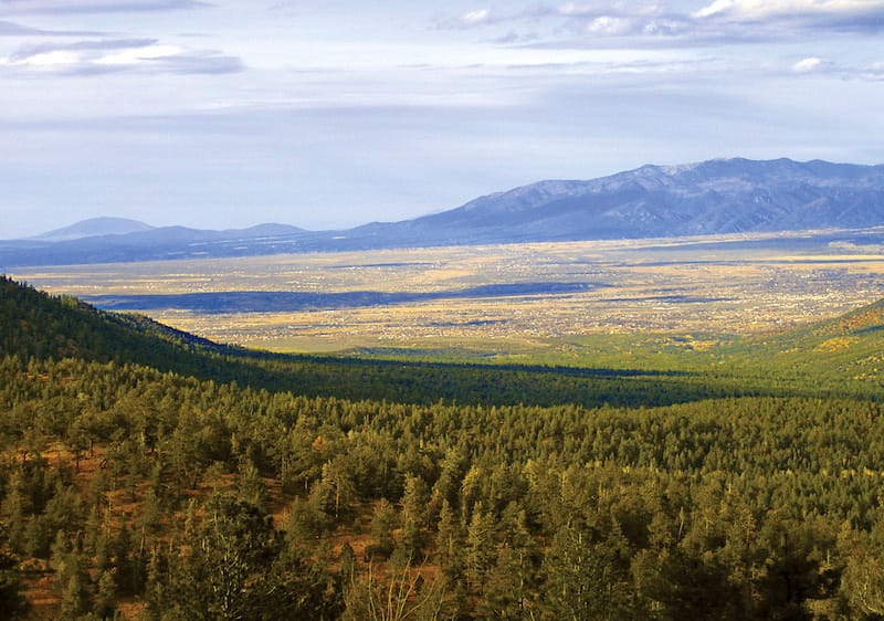
A few years ago, the owners of a 5,000-acre property in Miranda Canyon proposed plans for a new luxury subdivision. But farmers, residents of the town, and members of the nearby Taos and Picuris pueblos—Native American tribes with ancient roots in this region—all saw a long-term threat to the water supply the community shares.
In this part of the country, climate change may result in longer and more extreme periods of drought. “We’ve already noticed decreased flows in streams around Taos County,” says Rachel Conn of Amigos Bravos, an organization working to protect the state’s water. “Hotter summers and drier winters are causing problems for the alpine forests and meadows that help retain surface water and keep it clean.”
That means that even if its population stays the same, Taos will likely have a harder time meeting its water needs in the decades to come. But the population is growing—it shot up almost 50% between 1990 and 2010. “Unlimited growth is a primary threat to water quality and supply across New Mexico,” says Conn. “When we do build, we need to make sure we use green infrastructure and grow with as little impact as possible.” The subdivision proposed for Miranda Canyon included 150 large homes and up to 30 swimming pools supplied by a host of private wells. But neighbors knew the arroyos that drain Miranda Canyon are bone-dry for much of the year—and nobody knew how much water was available below the surface, or where.
“The hydrology around Miranda Canyon is extraordinarily complex,” says Paul Bauer, a geologist with the University of New Mexico. He’s just completed the first extensive study of the area’s water supplies. Bauer has found water in wells around Taos County that’s up to 18,000 years old—an indication of how long it could take some aquifers to refill once they’re tapped.
“If you pump a lot of groundwater, you could cause wells down-gradient to go dry, especially in areas where there’s not much recharge,” says Bauer. People who live in the more modest settlements of Llano Quemado and Ranchos de Taos, below the proposed subdivision, feared the same could happen to them if development plans went forward.
Even farther beyond these neighborhoods, the canyon empties into the Rio Grande. Here, near its headwaters, the river is still relatively clean. Along its 1,900-mile journey to the Gulf of Mexico it provides drinking water and hydropower for 6 million people and irrigates 2 million acres of crops. In the upper Rio Grande Basin, impacts from development—whether that’s overuse of streams and aquifers that feed the river or pollution from road runoff and household waste—can endanger water supplies from Taos all the way to the Gulf Coast.
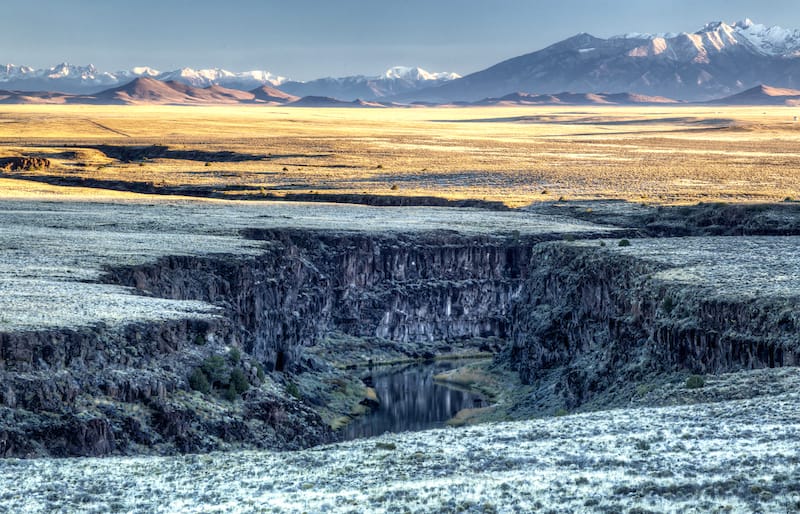
When community members raised these concerns about the subdivision’s impacts on water, the county voted to reject the developer’s plans. Still looking to sell the property, the landowners turned instead to The Trust for Public Land—and last year, we completed the effort to add this beautiful piece of Miranda Canyon to the adjacent Carson National Forest.
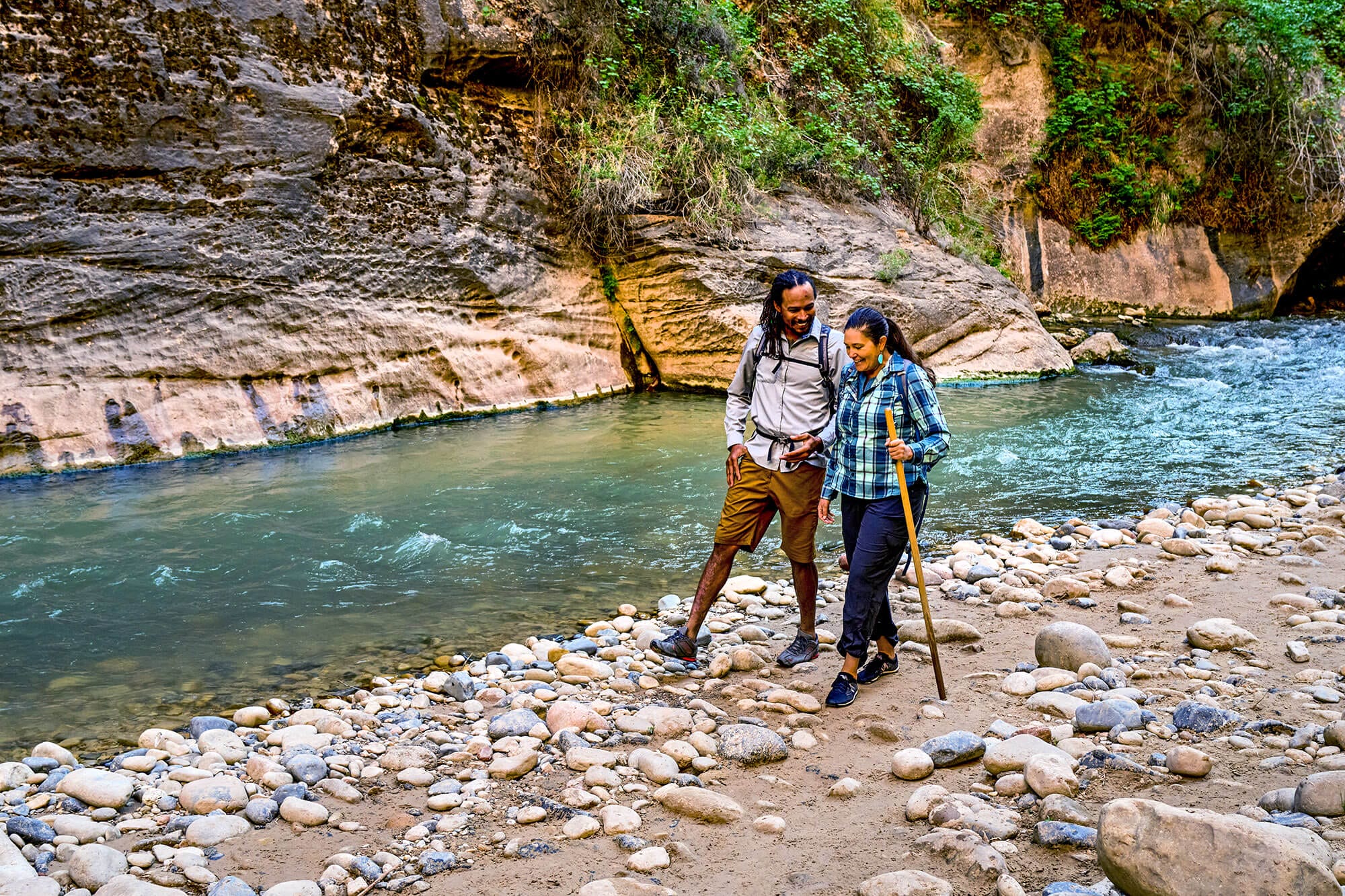
“Before, the Carson National Forest border ran right through the middle of the valley,” says Amy Simms, program manager with the U.S. Forest Service. Now, staff can consider the Miranda Canyon watershed as one system, better serving hikers and campers, plants and wildlife, and the water resources that sustain them all.
“It belongs to all of us now,” says Simms. “The community can come together and decide what we want this place to be.”
This raw, beautiful landscape in Southern California is home to Indigenous heritage sites, and it provides critical habitat for threatened and endangered species. Urge the administration to safeguard this extraordinary landscape today!
Donate to become a member, and you’ll receive a subscription to Land&People magazine, our biannual publication featuring exclusive, inspiring stories about our work connecting everyone to the outdoors.
See how our supporters are helping us connect people to the outdoors across the country.


