Mexico, ME
Median City, all urban cities and towns in U.S.: 55%
We’re working to ensure that every person, in every neighborhood, in every city across America has a quality park within a 10-minute walk of home.

Trust for Public Land has mapped park access for every urban area in the U.S., including Puerto Rico. Our ParkServe® mapping platform helps you pinpoint park investments to address park need, climate, equity, and health.
-
Park Data Downloads
Explore our comprehensive ParkServe® dataset which provides park data for over 15,000 cities and towns in the U.S., including park polygons, service areas, priority areas, trails, and playgrounds. Download historic ParkScore® rankings, which compare park systems across the 100 most-populated cities based on access, investment, amenities, acreage, and equity. The Trust for Public Land also offers data tables for city parks, including information on amenities, acreage, staffing, spending, and volunteers.
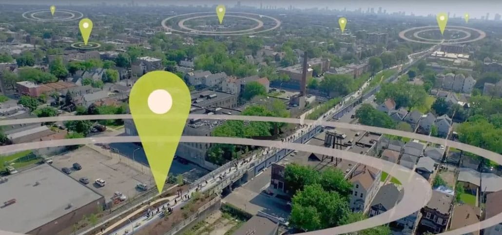
Our data reveals park access levels for every urban city and town across the United States and Puerto Rico. This powerful tool provides communities with information they need to help close the park equity gap. Search for another community here.


